


An earthquake hazard map of Bagan - an ancient city located in the Mandalay Region of Myanmar, aimed at helping in the conservation of the ancient site’s pagodas, will be released next February.
The Department of Archaeology and National Museum in Bagan said that three surveys were conducted for the map, in June, August, and September, and another will be made in November.
“The last survey was conducted in the ancient city and results were sent to Yangon for analysis. It is an ongoing process, and when it is completed, we will use the map at monthly conservation meetings to assist in planning,” U Phyo Pyae Ko Ko, a staff officer of the department told mmtimes.com.
The map is being produced through the joint efforts of the Myanmar Earthquake Committee and experts from Singapore, Nanyang Technological University, and Yangon Technological University. They first had to train officials how to produce maps, he said.
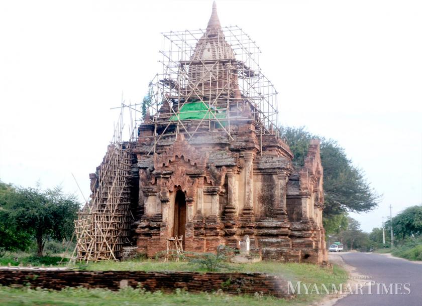
The first stage of the project was ground surveying, which includes subsurface conditions and earth density. In the second stage, the quake resistance of Bagan’s pagodas will be measured.
“By looking at the map, we will know how much each pagoda can withstand and how we should maintain them. The map is very necessary for Bagan,” he said.
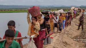
Nearly 400 ancient pagodas in Bagan were damaged by a powerful earthquake in August 2016 and are undergoing restoration.
source: mmtimes.com